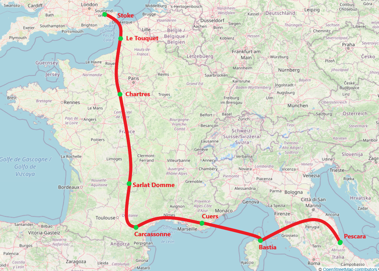
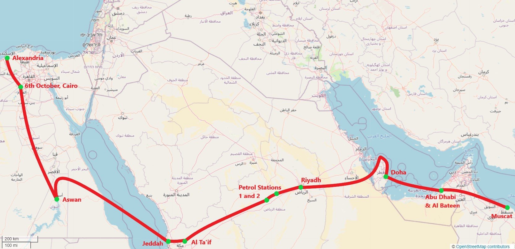
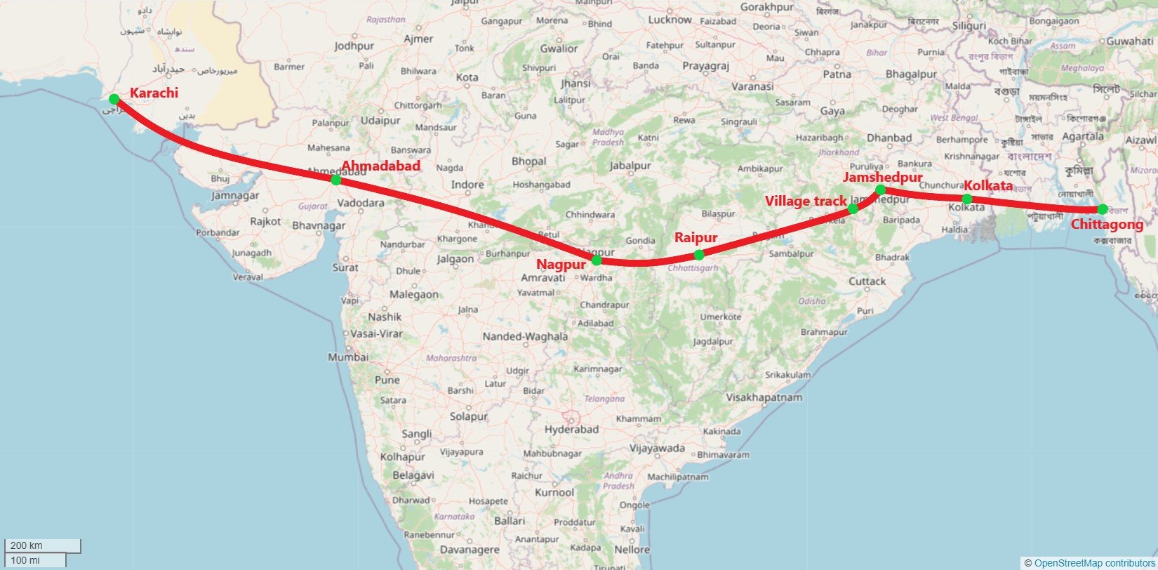
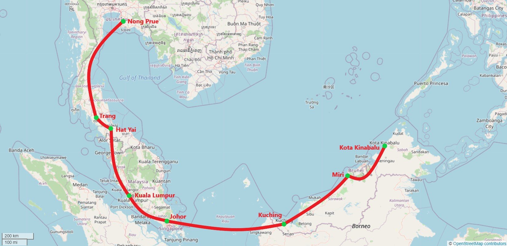
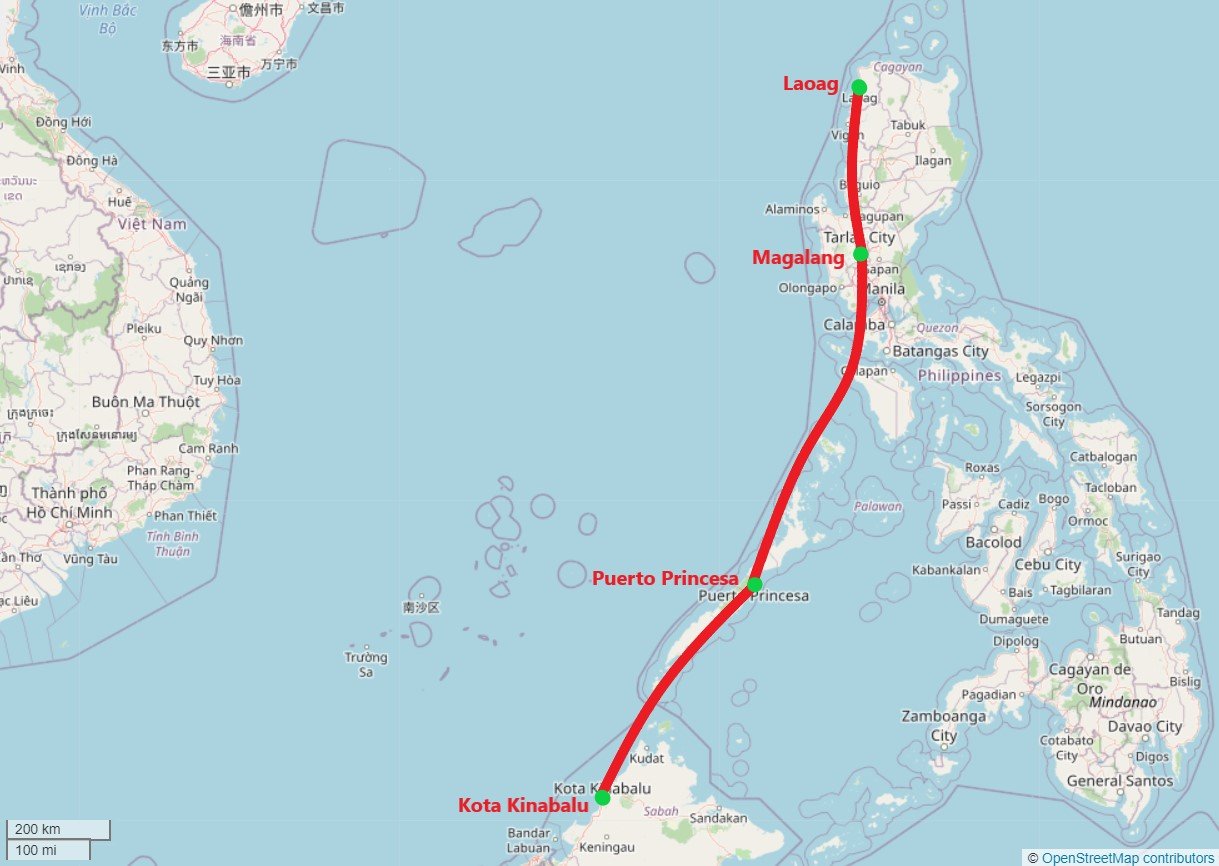
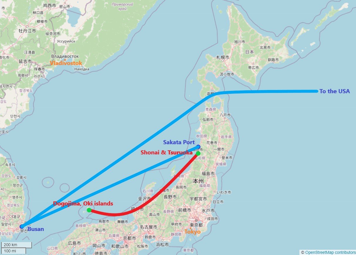
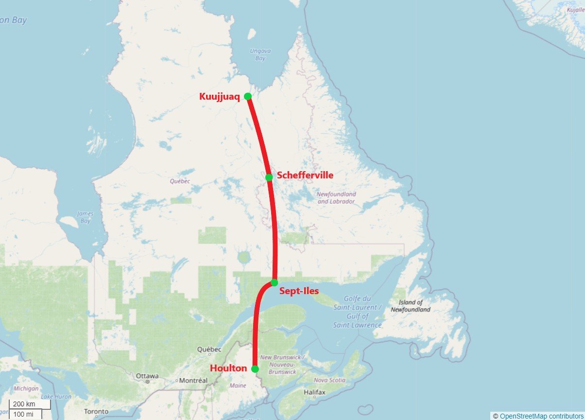
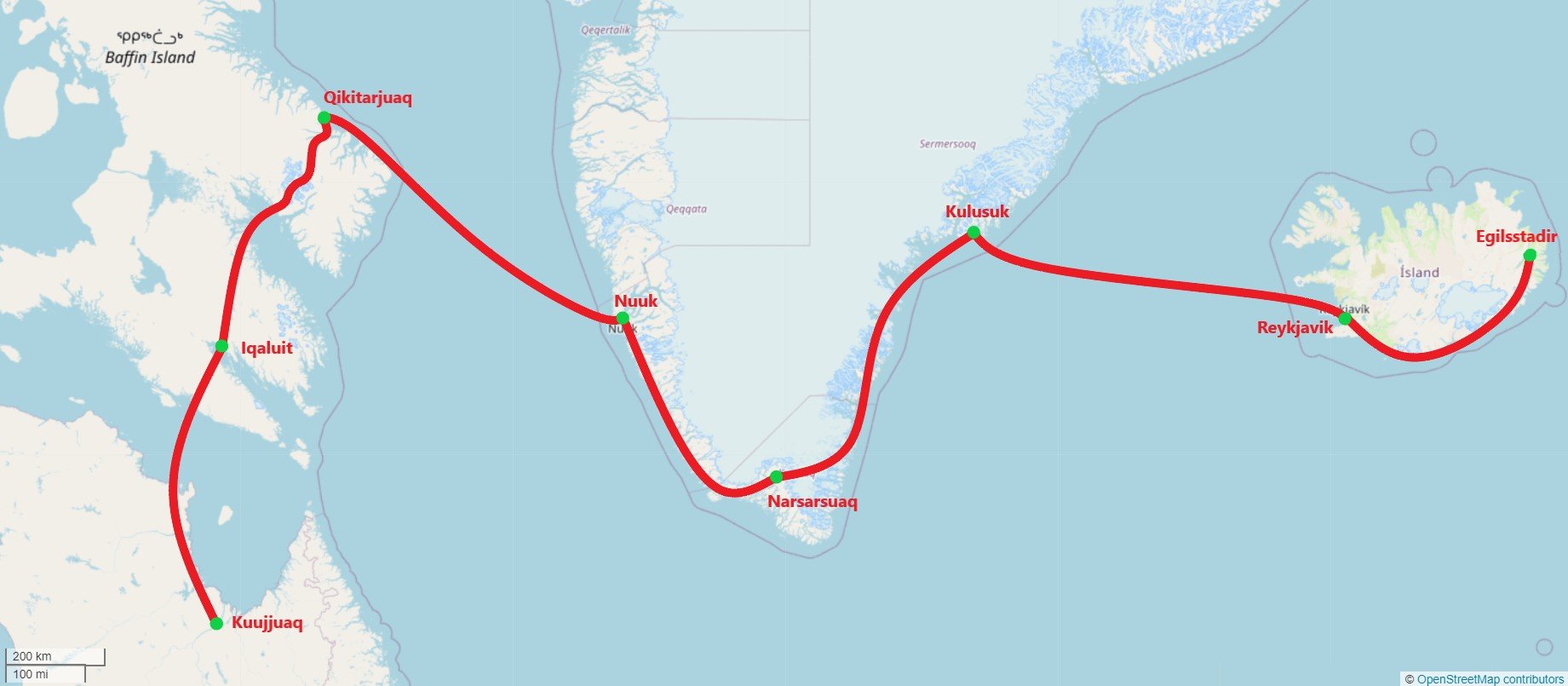
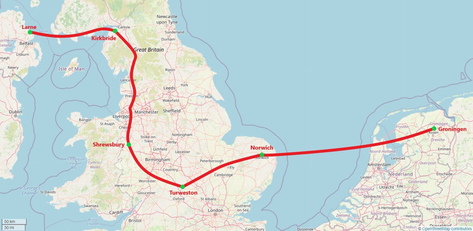
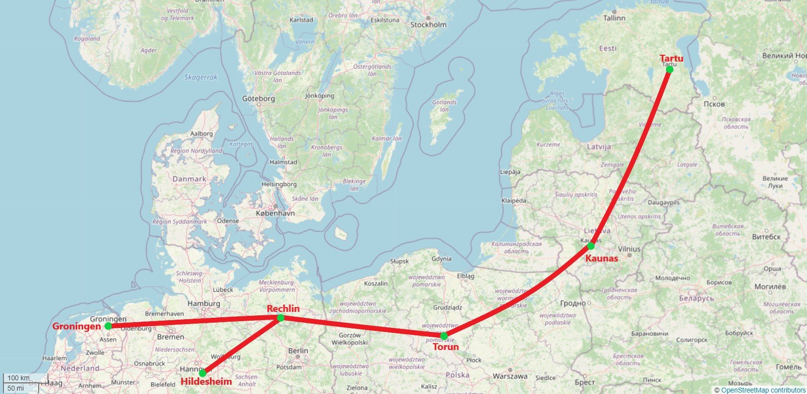
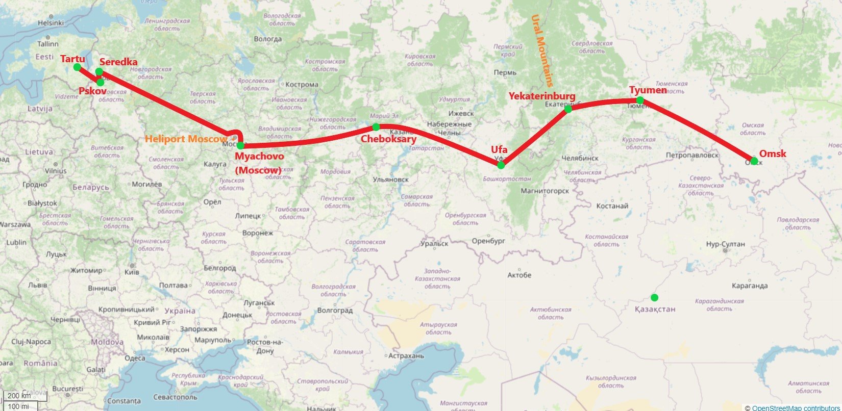
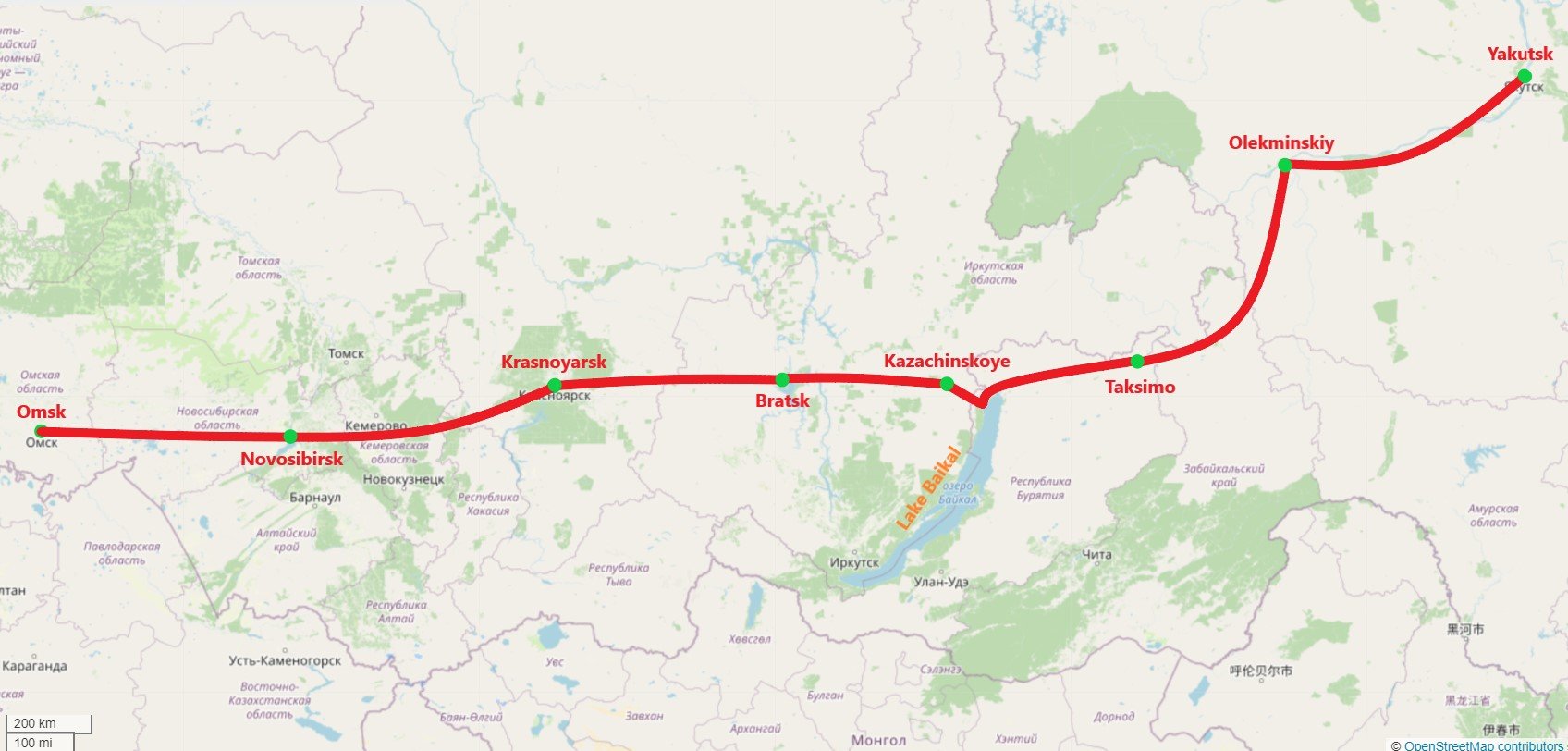
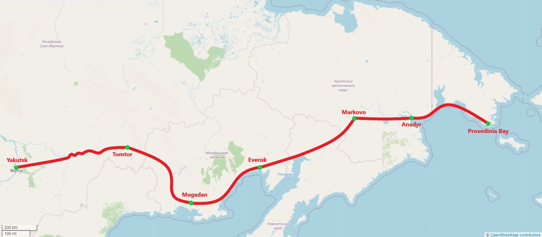
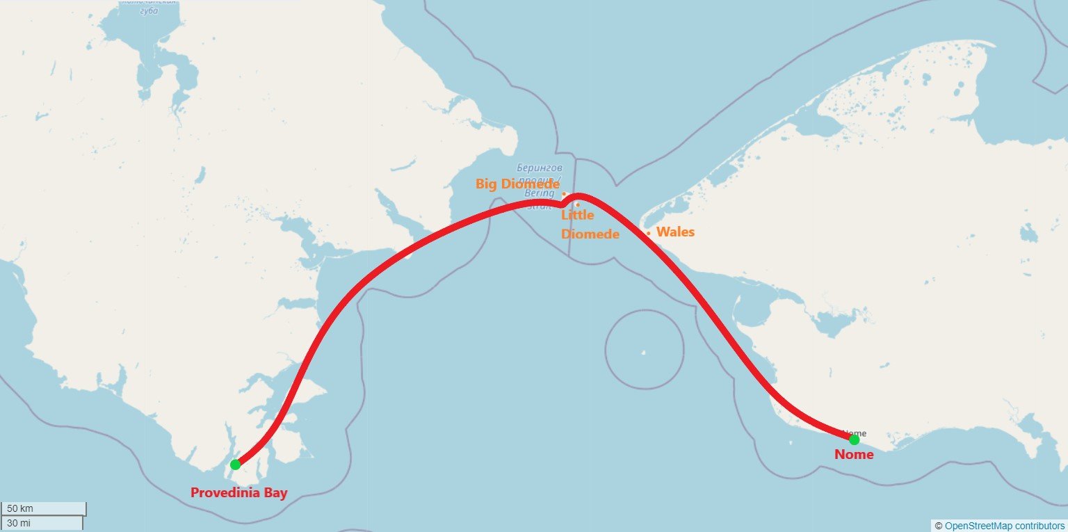
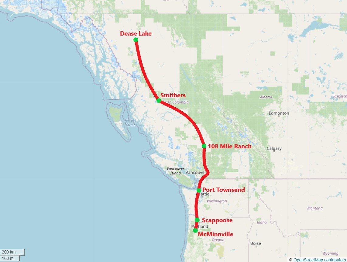
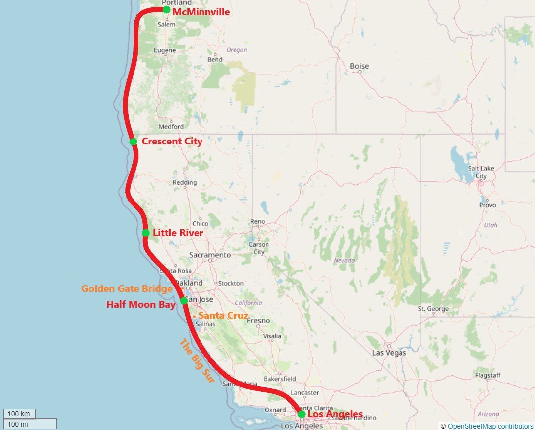
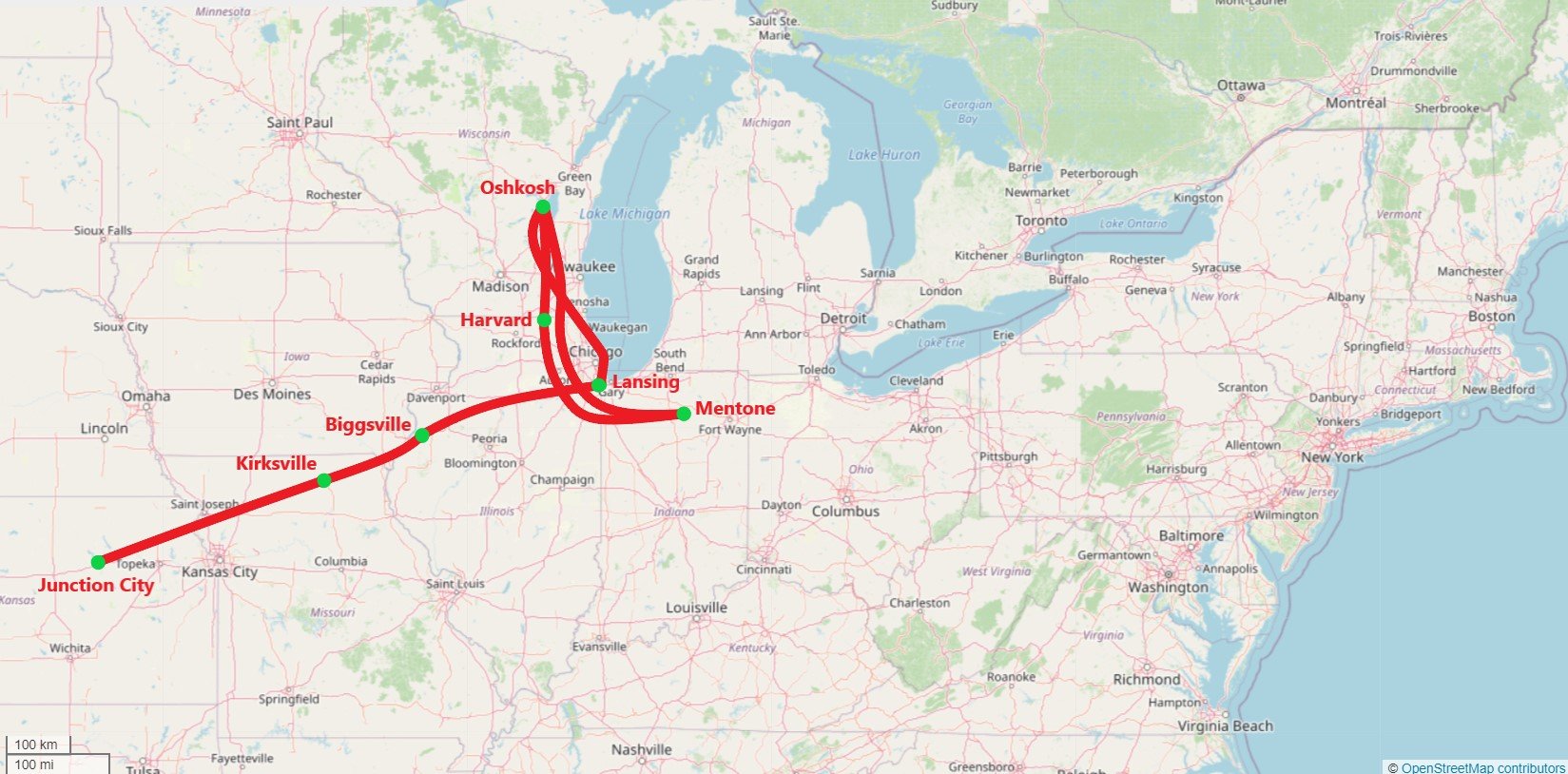
The complete route: as gathered from the maps in each Chapter Gallery
The maps below are laid out in the same timeline order as they appear in the written FIRST GYRO story, showing each stopover point en route around the world. For clarity, the route is shown only in a schematic, uncluttered easy to follow format, and gives only a simplified geography of each route section on the world map - for a more detailed view of some of the most incredible terrain that was flown over, readers are advised to view the same sections (in more zoomed in detail) using for example: Open Street Map, Google Maps or Google Earth.